

.png)

Features
Connecting the Dots Between Community Plans: Introducing the Plan Library

Most communities have dozens of long-range plans that help guide decisions, but if you asked the average resident where to find them, would they know? Residents may not know what types of planning documents even exist, much less where to find them or how they relate to one another.
The challenge is that these plans are often scattered across different department websites, if they're available online at all. Some, like a comprehensive plan, are managed by the planning department, while others, like park master plans, active transportation plans, or capital improvement programs, are maintained by parks and recreation, public works, building, or transportation departments.
The result is a fragmented experience. Finding the right plan can feel like a scavenger hunt, and understanding how the pieces fit together can be even more difficult.
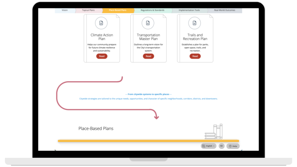
That's the idea behind the Plan Library.
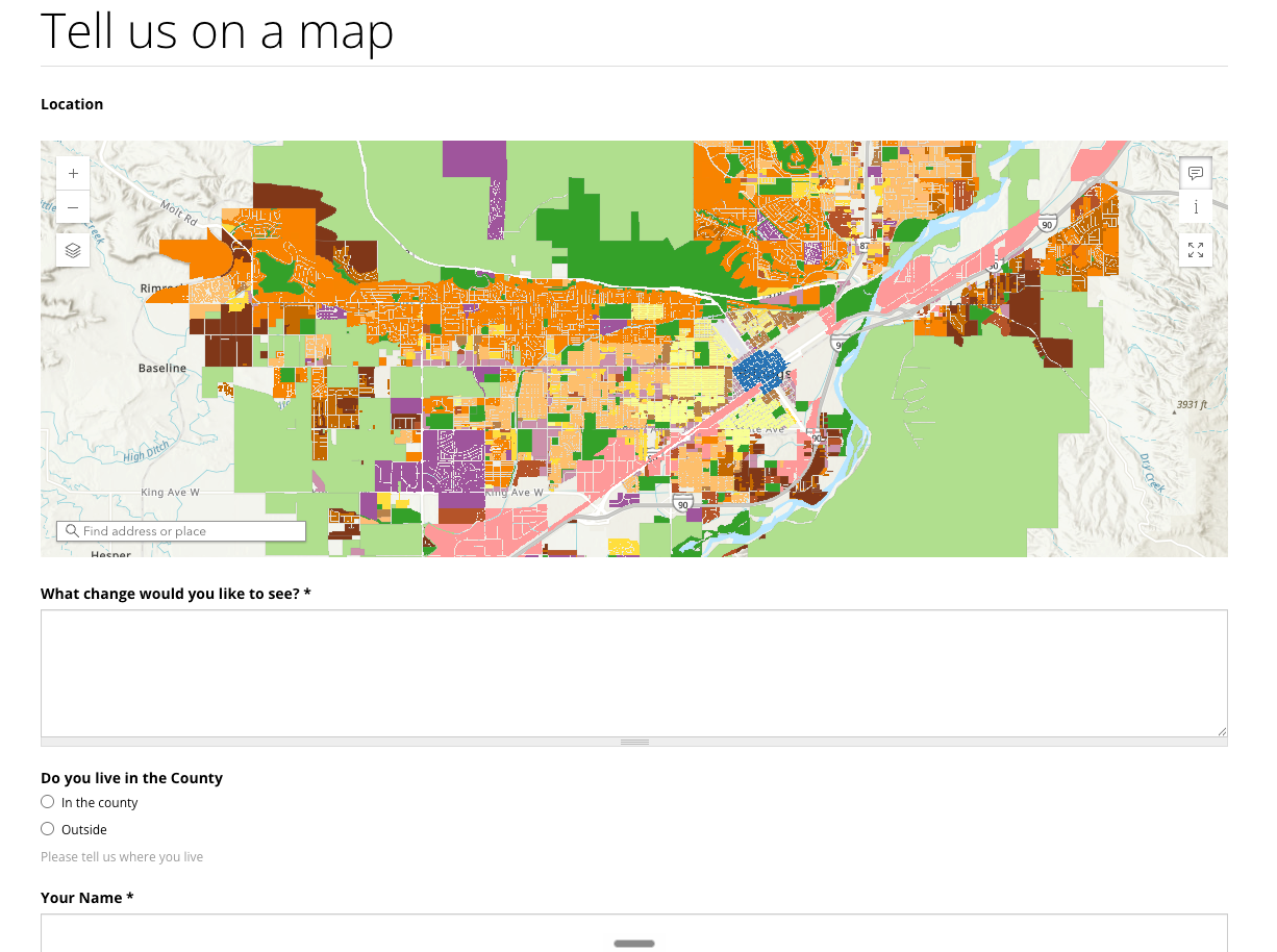
Rather than reorganizing a city's website or moving existing documents, the Plan Library creates a single, easy-to-navigate entry point that brings them together. Each plan remains where it already lives on the city's website. The Plan Library organizes those documents in one place while providing context that explains how they work together. It can also integrate maps and dashboards to visualize outcomes, and Konveio can be used for progress tracking to help turn those plans into results.
To make those relationships easier to understand, the Plan Library is designed as an infographic and uses the familiar metaphor of a bookshelf. At the top are vision documents that establish long-term goals and community priorities. Below them are topical plans that explore issues like climate, transportation, and parks, followed by place-based plans focused on downtowns, corridors, and neighborhoods. Regulations, implementation tools, and ultimately real-world projects complete the story.
The goal is bigger than simply organizing documents or making them easier to find. Ultimately, it's to help people understand how the plans complement each other to guide how a community grows and evolves.
When residents can see how an active transportation plan connects to a neighborhood plan, or how a capital improvement program helps implement the comprehensive plan, planning becomes more transparent. Individual documents stop feeling like isolated reports and instead become part of a connected framework that guides community decisions over time.
The Plan Library infographic helps illustrate that the plans themselves aren't the destination; they're tools that help communities make better decisions. The real measure of success is what people experience: new housing, parks, infrastructure, businesses, public spaces, and other investments that reflect the community's shared vision. The Plan Library helps make those connections visible, showing not only what plans exist, but how they collectively shape the future of the community. Curious what a Plan Library could look like? Explore our interactive example to see how interconnected plans can become a more intuitive and engaging experience for residents.


Similar posts


Explore a live example


