

.png)


In 2025, the City of Salida, CO, in collaboration with Clarion Associates, undertook a major update to its Land Use Code and Zoning Map. The objective was to create a more transparent, user-friendly, and modern framework aligned with the City's Comprehensive Plan and Future Land Use Map. The project team leveraged Konveio’s digital tools and ESRI integration capabilities to support both internal and public engagement throughout the project.
Problem
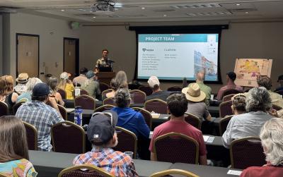
Updating zoning regulations and maps is inherently complex, requiring iterative feedback from stakeholders, staff, and the public. With numerous modules under review and a new zoning map to vet, the City needed an engagement solution that could present materials clearly and gather input efficiently from a wide audience, particularly those unable to attend in-person workshops.
Solution
Konveio served as the central platform for reviewing each module of the new Land Use Code, enabling both internal stakeholders and the public to leave precise, section-specific comments. This approach ensured clarity, consistency, and continuous engagement throughout the update process.
See an example for the City's Development and Design Standards.
As the team began work on the new Zoning Map, Konveio’s ESRI Experience Builder integration was key. They implemented an interactive swipe map that allowed users to compare the “before” and “after” zoning scenarios. When clicking on a parcel, users could leave detailed, location-specific feedback tied directly to parcel IDs and automatically stored in Konveio’s backend.
This seamless feedback loop, which included AI-assisted analysis tools, mirrored the functionality of in-person workshops while making it accessible online for a period of time afterwards. The integration not only simplified input collection but also supported deeper community participation and informed decision-making.
Impact
- Enhanced Engagement: Konveio enabled Salida residents to participate in a format that replicated in-person interaction, making it easier for community members to stay informed and share input at their convenience.
- Streamlined Review Process: Interactive zoning maps and embedded comment tools helped streamline both internal and public feedback, reducing confusion and duplication of effort.
- Smarter Feedback Management: By linking parcel IDs to specific feedback submissions, the team could analyze input efficiently and meaningfully, with AI tools surfacing patterns and themes.
- Public Transparency: Materials and feedback remain accessible throughout the life of the project.
By integrating Konveio’s document engagement platform with ESRI’s geospatial tools, the City of Salida created a digital-first, transparent planning process that increased access, improved participation, and strengthened the final Land Use Code and Zoning Map. This project stands as a model for how municipalities can leverage modern engagement platforms to bridge the gap between in-person events and community members that can't attend.
Similar case studies


Explore a live example


