

.png)

Features
Accessibility for Complex Maps and Graphics: Konveio Now Integrates with Aira for Live Visual Assistance
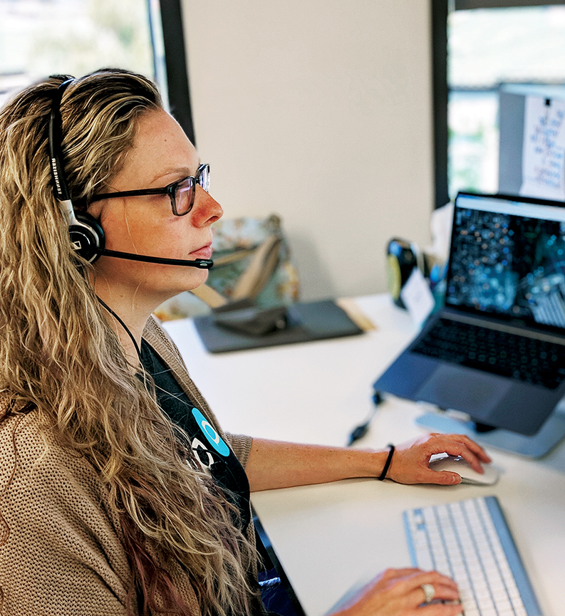
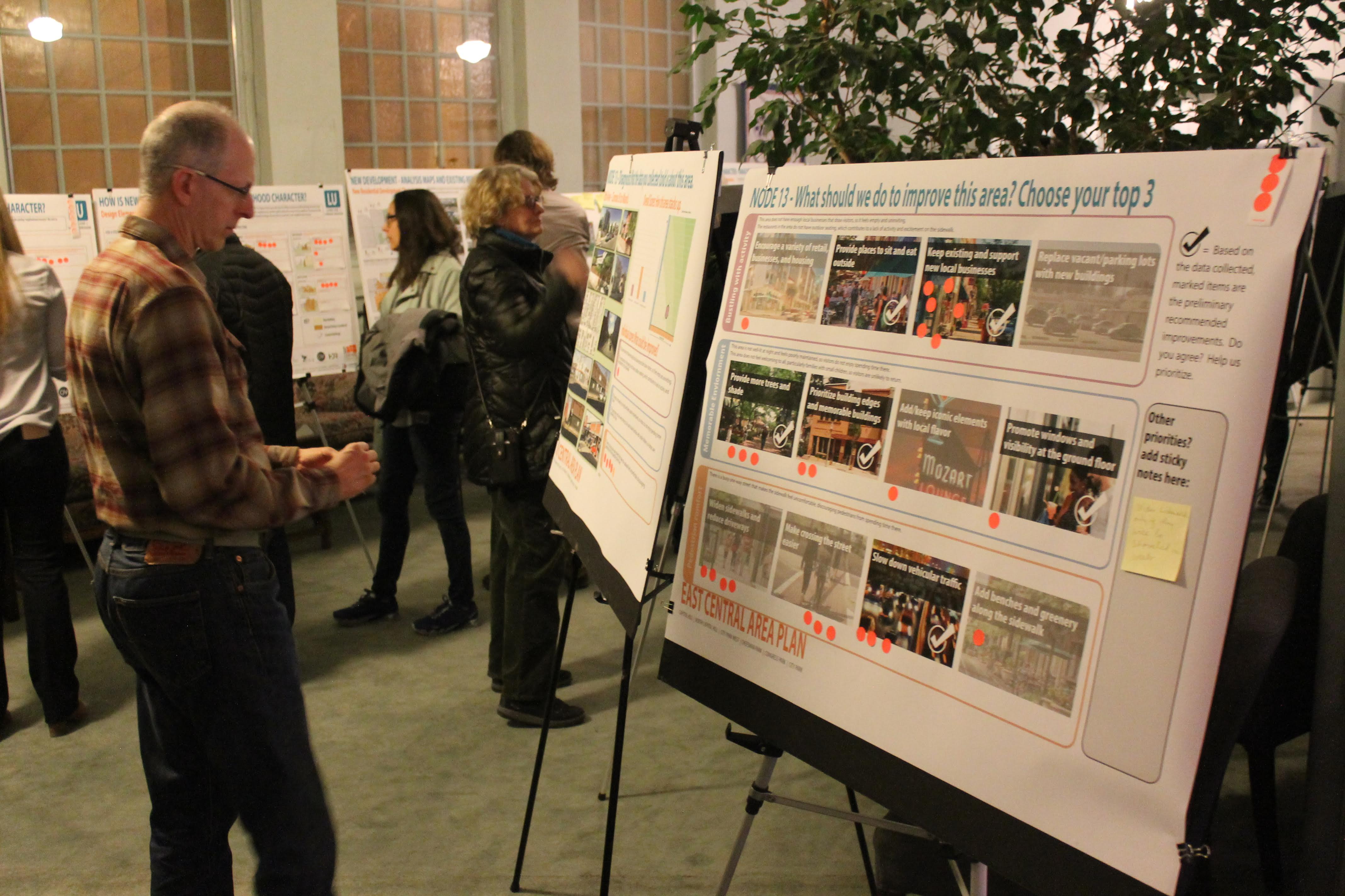
Public engagement often depends on visuals.
Zoning maps. Site plans. Renderings. Diagrams. Layered GIS exhibits.
These materials help communities understand what’s being proposed and how their neighborhoods might change. But for blind and low-vision residents, they can present a significant barrier — even when a website meets WCAG technical standards.
That’s why Konveio now integrates with Aira Explorer, providing free, on-demand live visual assistance for blind and low-vision users on every Konveio-powered site.
Accessibility That Goes Beyond Automation
WCAG compliance ensures that websites and documents are:
- Properly structured
- Screen reader compatible
- Keyboard navigable
- Tagged and labeled
But compliance alone doesn’t always guarantee understanding.
Maps and diagrams rely on visual relationships — color-coded overlays, boundaries, spatial proximity, and layered information. Even when tagged correctly, these materials can be difficult to interpret without contextual description. Aira bridges that gap. With Aira, a blind or low-vision user can connect to a professionally trained visual interpreter who describes what’s on screen in real time — answering clarifying questions and explaining complex spatial details.
It’s not just about access to content. It’s about access to meaning.
How It Works
When a screen reader user visits a Konveio site, they’ll hear a brief announcement informing them that live visual assistance is available free of charge.
From there, the user can:
- Visit Aira Explorer
- Sign in or create a free account
- Connect with a live Aira agent
- Let the agent know the site is “Powered by Konveio”
- Receive real-time visual interpretation while navigating the site at no cost

The service is seamless and requires no additional configuration from administrators.
Why This Matters for Public Engagement
Planning and policy decisions shape the physical world. And the physical world is inherently visual.
When community members cannot fully interpret a zoning map or proposed site plan, they are effectively excluded from the conversation.
By integrating Aira, Konveio helps agencies:
- Support equitable participation
- Enhance effective communication under ADA guidelines
- Provide meaningful accommodation for blind and low-vision residents
- Improve trust and transparency in civic processes
Accessibility is not only about technical standards. It’s about ensuring every voice can participate with confidence.
Built In, No Setup Required
Aira access is automatically available across all Konveio-powered sites.
There’s no additional code to deploy. No configuration required. No impact on your site’s visual design.
It simply ensures that blind and low-vision users are informed that live assistance is available whenever they need help interpreting complex visuals.
Supporting Compliance and Going Further
As federal and state accessibility requirements continue to evolve, including the DOJ’s adoption of WCAG 2.1 AA standards for state and local governments, agencies are looking for ways to strengthen their accessibility posture.
Aira does not replace the need for accessible design, it complements it. By pairing WCAG-compliant content with on-demand human interpretation, Konveio helps agencies move beyond minimum compliance toward truly inclusive engagement.
A More Inclusive Future for Planning
Community planning should be participatory by design. By integrating live visual assistance into the engagement experience, Konveio is helping ensure that maps, diagrams, and visual proposals are understandable to everyone - not just those who can see them.
Because when every resident can understand the plan, every resident can help shape it.


Similar posts

Explore a live example


